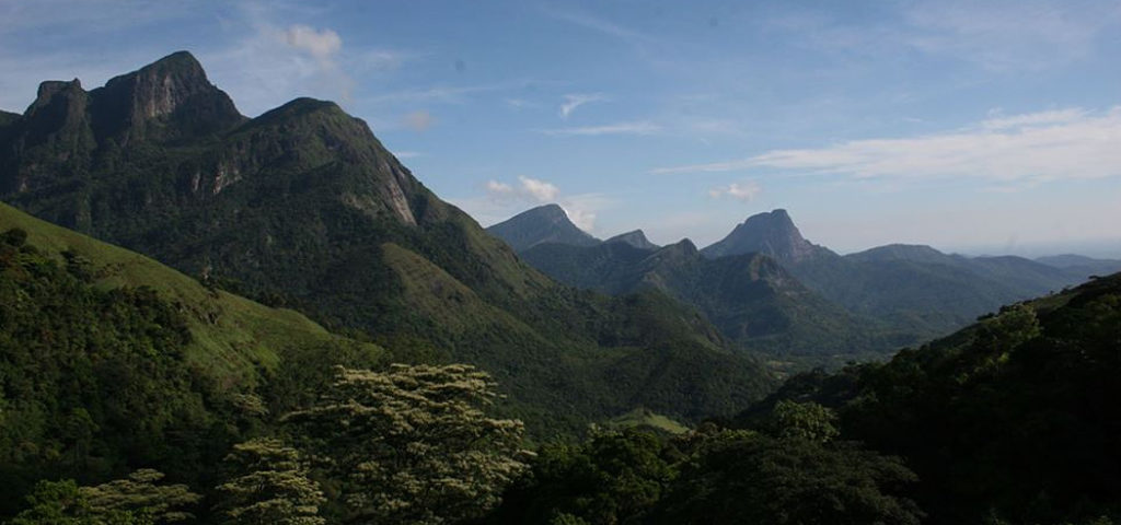
Hill Country

Adam’s Peak

Adam’s peak, or Sri Pada (Sacred Footprint), a 7,360 feet tall mountain is certainly remarkable. A depression in the rocky summit resemble a footprint, which has been recognized as a sacred site. The Buddhists believe the footprint to be that of Lord Buddha, the Hindus that of Lord Shiva, the Christians that of Adam.
Location Map

Knuckles Mountain Range

Located in the Kandy and Matale districts, the Knuckles Range covers an area of about 160 square km. With its rugged mountains and spectacular sceneries, it is undoubtedly one of the most scenic parts in the Sri Lankan Highlands and a real paradise for those who love hiking and mountain biking. The scenic trails will take you across mountains, crystal clear rivers, and dense forests to flowing waterfalls, lush tea plantations and traditional little villages surrounded by colorful home gardens and terraced paddy fields.
Location Map

Pidurutalagala Mountain

At 8,292 feet above sea-level, the Pidurutalagala or Mount Pedro, is the tallest mountain in Sri Lanka. The mountain range is located near the city of Nuwara Eliya. Its biodiversity and scenic beauty is more suitable for hiking.
Location Map

World’s End

Worlds End is a beautiful nature trail in Central Sri Lanka, about 20 miles away from the city of Nuwara Eliya. It is a long-limbed gap in the middle of Horton Plains National Park, located at 2,200 m above the sea level. A sheer cliff with a drop of about 1,200 meters reveals stupendously contrasting landscapes. The Indian Ocean is visible on the southern horizon on clear days. Other attractions include the splendid Baker’s waterfall on the Belihul Oya River.
Location Map

Request a Call back or call us +94 773 629 515